*/
Ray Purdy discusses how a new space detective agency can offer lawyers access to evidence from satellites & drones.
Have you ever wished you could go back in time and see what was going on at a certain place at a particular time?
This is now increasingly possible. Expanding archives of information from satellites, unmanned aerial systems (drones) and aircraft can provide historical evidence that would otherwise be unavailable.
Because of this, the world’s first “space detective agency”, Air and Space Evidence, was recently established in the UK, specialising in sourcing archived data that could assist as evidence in legal cases, criminal investigations or insurance claims.
The company was started by two University College London academics, Ray Harris (geography) and me (law). Our research found that while most lawyers would have looked at Google Earth, most of them had no understanding of the evidential opportunities these technologies presented and had never considered using such imagery in a legal context. Where lawyers had tried to source imagery they often found that archives were not set up with non-technical users in mind.
We increasingly received calls at UCL from lawyers and regulators asking how to get images and, spotting a gap in the market, we founded the company to provide a link between the imagery and those working in a legal and evidentiary context.
What we can observe from space has changed dramatically. Satellite sensors record information at a range of resolutions, the sizes of which are important as they determine the amount of information that can be seen. In the 1990s most satellites operated at resolution levels of about 30-79 metres. Last year satellite companies weren’t allowed to sell images with features smaller than 50cm and this year this figure has dropped to 25cm (and is set to decrease further).
Digital Globe, the world’s largest satellite company, says that new satellites will be able to show “manholes and mailboxes”. Satellites and drones can also see humans—although it is still difficult to identify them. However, drones and aircraft can sometimes track an individual person’s movements, before and after the moment of crime, in the time that they are airborne. In 2014 Persistent Surveillance Systems, a private US company, testing a new aerial surveillance system over nine days found that this data showed murders, robberies and many other crimes.
Archived imagery
An increase in the number of satellite and drone technologies also means that there is more data ending up in archives that might be utilised as historical evidence. However, the usefulness of these archives should not be oversold. If information about an activity that had taken place on a particular minute in the past were required, it is unlikely that an image would be available. Relevant factors include the timing of satellite and drone passes, weather conditions (affecting visibility) and whether a recorded image was saved to an archive.
Cases do exist where archived imagery has demonstrated something on a particular day. Insurance investigators uncovered fraud by a New Orleans couple after satellite images taken the day after Hurricane Katrina revealed that the damage to their house actually occurred after the hurricane. Images were purchased after investigators considered that the damage did not look like other hurricane damage and appeared to be man-made.
Clearly, if a lawyer needs to determine when, where and how something has happened, image archives will be more fruitful in respect of activities taking place over a longer time. Therefore, they are well suited to use in a planning law context, where it is possible to demonstrate demarcation changes in boundary disputes, a change of use, or the timing of construction of an unauthorised development.
The increasing value of historical data in human rights cases is supported by the fact an organisation fronted by George Clooney has been using satellite data to provide daily evidence on war crimes in Sudan. The Office of the Prosecutor of the International Criminal Court even now has its own in-house expert satellite team, as so many NGOs now provide evidence from satellites.
Even where there is enough conventional evidence to convict somebody, image archives can still make a significant difference at a relatively low cost. When examining one historical environmental prosecution we found satellite data that proved that the illegal activity had been ongoing for a significantly longer period of time than the regulator thought. If this imagery had been available to the court a harsher sentence might have been forthcoming.
Observation & expertise
Air and Space Evidence is commercially distinct because it combines the detailed knowledge of Earth observation technology with legal expertise. It is always possible to modify a digital image, so the company uses academic research to recognise what is likely to be attacked by other lawyers and implements best practice standards and procedures so the data can be relied upon as legally effective evidence. However, as drones and satellites move ever close to enabling the identification of individuals, then privacy issues will increasingly be raised. Much uncertainty currently exists because: it is commercial companies (rather than the state) operating technologies that are potentially invasive; this data can sometimes be generated and distributed from another country—making it harder for an individual to protect their privacy rights; and the application and adequacy of search warrant laws like the Regulation of Investigatory Powers Act 2000.
Ray Purdy is a director of Air and Space Evidence and a Hon Visiting Research Associate, Faculty of Laws, University College London (www.space-evidence.net).
Ray Purdy discusses how a new space detective agency can offer lawyers access to evidence from satellites & drones.
Have you ever wished you could go back in time and see what was going on at a certain place at a particular time?

Efforts continue on gender equality, support for the Bar, meaningful reform for the sector and advocating for the rule of law
To mark International Women’s Day, Louise Crush of Westgate Wealth Management looks at how financial planning can help bridge the gap
Casey Randall of AlphaBiolabs answers some of the most common questions regarding relationship DNA testing for court
Leading drug, alcohol and DNA testing laboratory AlphaBiolabs has made a £500 donation to Beatson Cancer Charity in Glasgow as part of its Giving Back campaign
Girls Human Rights Festival 2025: a global gathering for change
Exclusive Q&A with Henry Dannell
Patrick Green KC talks about the landmark Post Office Group litigation and his driving principles for life and practice. Interview by Anthony Inglese CB
Desiree Artesi meets Malcolm Bishop KC, the Lord Chief Justice of Tonga, who talks about his new role in the South Pacific and reflects on his career
Sir Nicholas Mostyn, former High Court judge, on starting a hit podcast with fellow ‘Parkies’ after the shock of his diagnosis
Exclusive QA with Henry Dannell
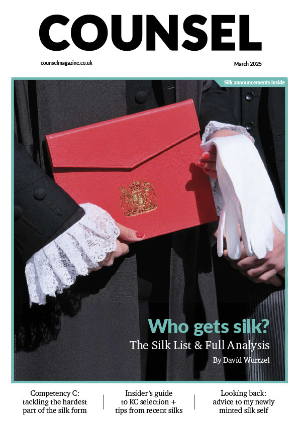
Once you submit your silk application, what happens next? Sir Paul Morgan explains each stage of the process and reflects on his experience as a member of the KC Selection Panel